Can Graells Path
Updated: 02/28/2024
Camí de Can Graells, 61
08174
Sant Cugat del Vallès
Barcelona
Contact
Marta de Castro
Ajuntament de Sant Cugat | Cultura, Coneixement i Promoció de la ciutat
(+34) 93. 675.99.51/ 627. 43. 79. 90 EXT. 2891/4190
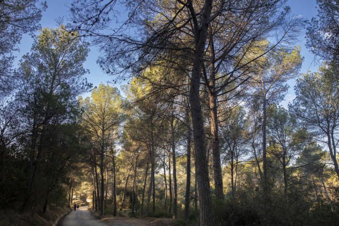
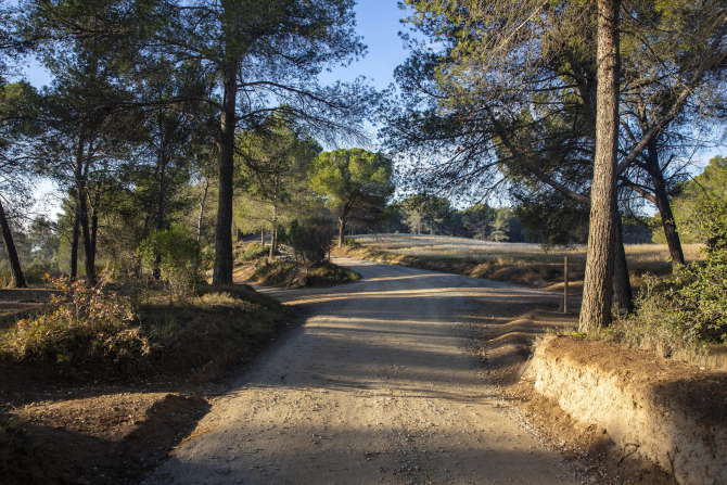
At the northern end of the municipality and within the Galliners mountains, the Can Graells path is located. This path is a forest track, 4 kilometers long, that crosses a large wooded area, between Sant Cugat del Vallès, Sant Quirze del Vallès and Terrassa.
Next to the facilities of the Hewlett-Packard company and the Japanese School of Barcelona, the Can Graells path begins. Popular with both hikers and cyclists, the Can Graells path enters the natural environment of the Galliners mountains, and rises to the top of the Can Camps hill (290 meters above sea level). Along the track, you can see rich Mediterranean vegetation, consisting of holm oaks, pines, strawberry trees, among others.
At the top of the mountain range, this forest track ends up converging with the historic Camí dels Monjos, an old medieval route. From up here, the path offers magnificent panoramic views, beyond the Vallès plain, where the Montserrat mountain, Sant Llorenç de Munt and Montseny are outlined. A privileged viewpoint is the Mataric hill, where you can find a circular orientation table on a pedestal.


