BarcelonaFilm Commission


Iberian village Puig Castellar


Updated: 07/07/2025
Puig Castellar
08924
Santa Coloma de Gramenet
Barcelona
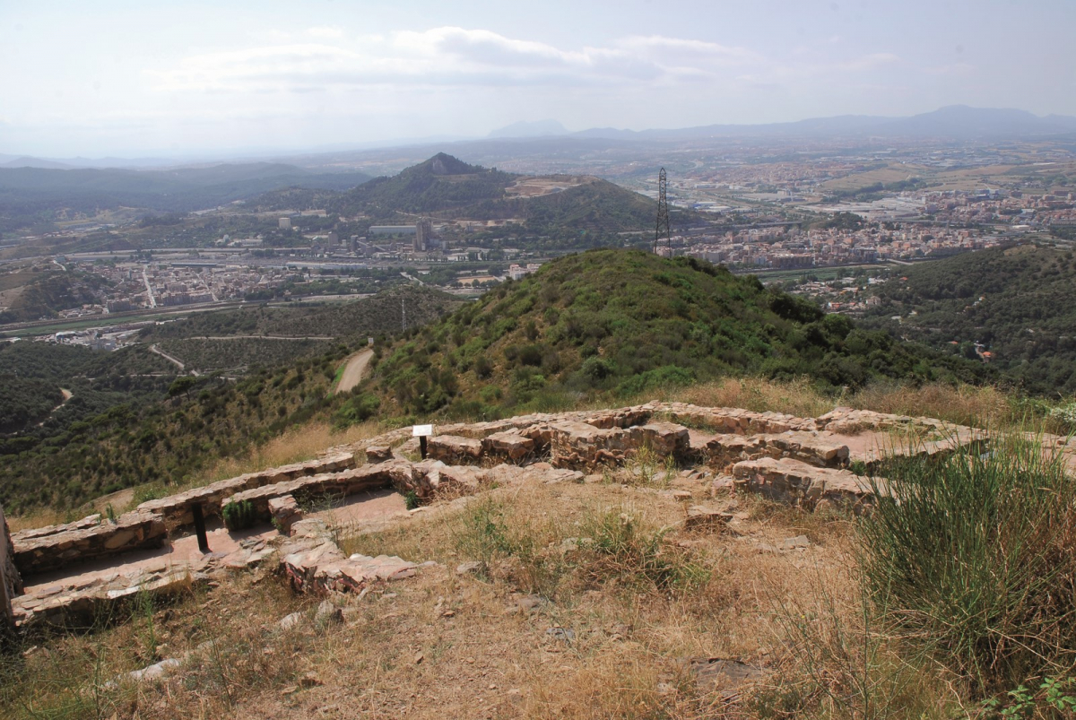
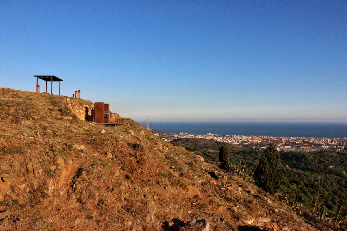
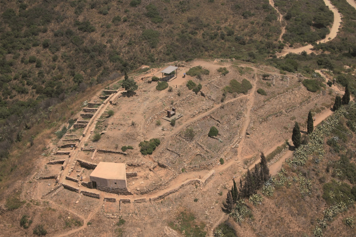
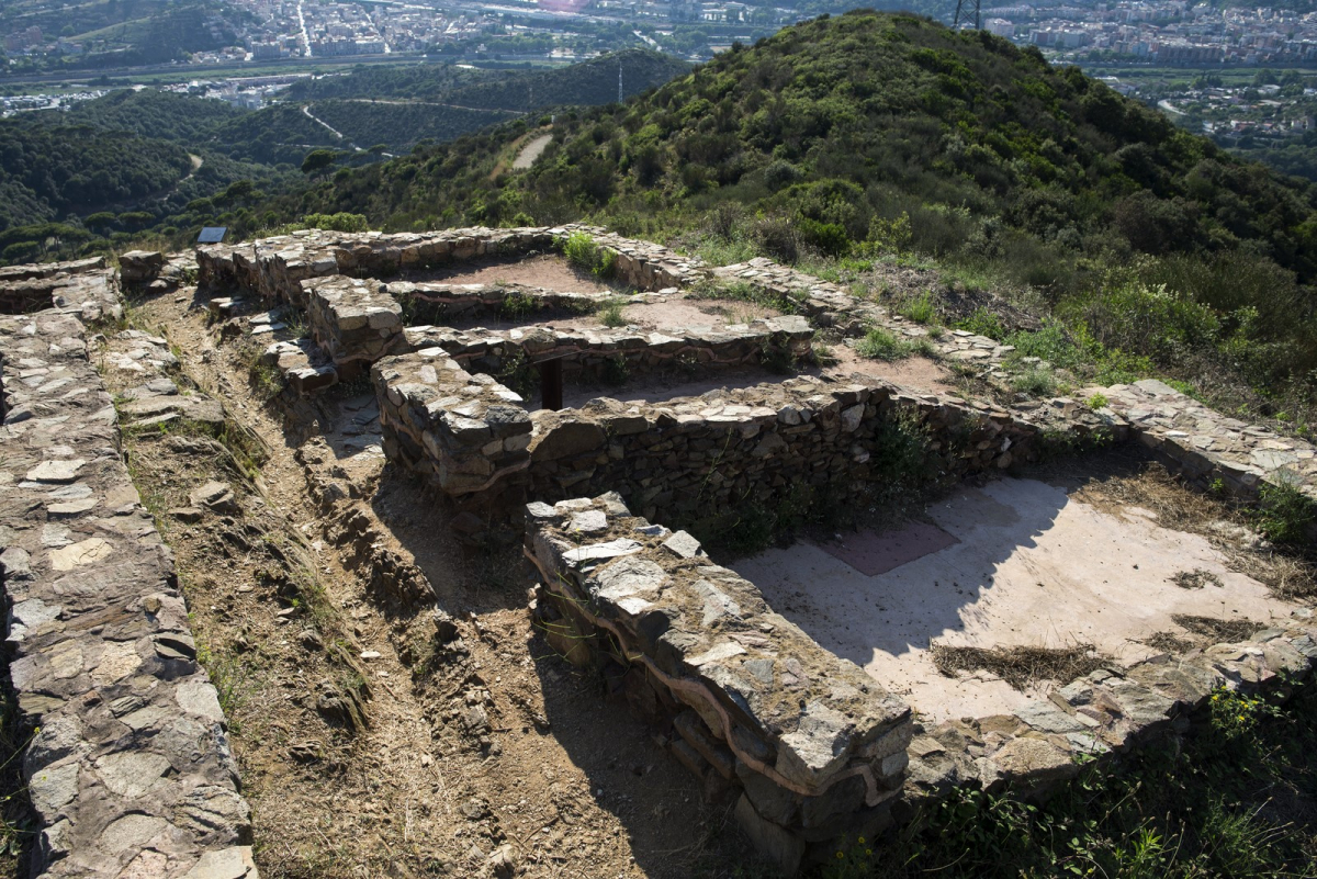
Located at the top of the hill that bears the same name within the Sierra de Marina Park, it constitutes an emblematic symbol and identity for Santa Coloma. At 303 m high and with a surface area slightly greater than 4,000 m2, this location allowed the vision and communication with the nearby settlements, since it controlled an important section of the coastline, the mouth of the Besós, the plain of Barcelona and the passage towards the interior, towards the Vallés. It was occupied from the 6th century BC. Until the beginning of the second century BC. C., moment in which it is abandoned.
Attention: In order to film at this location, which is within the protected natural area of the Serralada de Marina Park, you must request authorization or a prior report using the form available at https://www.diba.cat/en/web/espais-naturals/marina/permisos-i-tramits, under the section “Public Use Activities,” at least thirty days before the planned date of the activity.